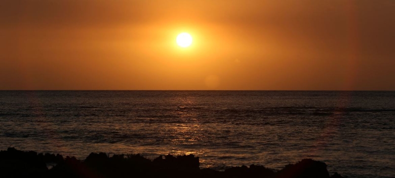

© UNICEF/J. Este El Niño occurs as a result of warming surface waters in the central and eastern equatorial Pacific Ocean. WMO – about the El Niño phenomenon and the risk of new climate shocks Climate and Environment
In the coming months, the world is likely to experience the return of one of the most powerful climate events on the planet – El Niño. According to the World Meteorological Organization (WMO), there is an 80 percent chance of it forming as early as this summer, and a greater than 90 percent chance that it will persist until at least November.
Experts warn: El Niño could increase global warming, increasing the risk of extreme heat, droughts, heavy rainfall and other dangerous weather events. Against the background of record-breaking warm recent years, its consequences may be especially noticeable.
The changes were caused by unusually warm waters in the tropical Pacific Ocean. Observations show that ocean surface temperatures in key areas are gradually approaching El Niño thresholds. At the same time, a significant reserve of heat has accumulated in the subsurface layers of the ocean – the temperature there exceeds the norm by about six degrees Celsius, which further fuels the process of surface warming.
UN Secretary-General Antonio Guterres called for the development of El Niño to be viewed as an emergency climate warning.
“El Niño conditions will add fuel to the fire of planetary warming,” he said in a video message. The impact will be felt faster and wider than before, he said, and an effective response requires accelerating the transition to renewable energy, protecting the most vulnerable and developing early warning systems.
What is El Niño and why is it feared?
It is a natural climate phenomenon resulting from warming surface waters in the central and eastern equatorial Pacific Ocean. It usually develops every two to seven years and lasts about a year. However, its influence is felt far beyond the Pacific Ocean – temperature regimes and precipitation patterns are changing almost throughout the world.
According to WMO Secretary-General Celeste Saulo, the current situation requires heightened preparedness.
“We need to prepare for a potentially strong El Niño event, which will increase droughts and heavy rains, and increase the risk of heat waves on both land and ocean,” she stressed. she. Saulo recalled that the previous El Niño in 2023-2024 was among the five strongest on record and was a factor in the record global temperatures of 2024.
Although each El Niño event follows its own pattern, there are typical consequences. In the southern part of South America, in the southern United States, in certain areas of the Horn of Africa and Central Asia, an increase in precipitation is more often observed. At the same time, Central America, northern South America, the Caribbean, Australia, Indonesia and parts of South Asia often face drier conditions.
The WMO’s additional seasonal forecast shows another alarming trend: above normal temperatures are expected in almost all regions of the world from June to August. This can increase heat stress, accelerate the development of droughts and increase the likelihood of extreme weather events – from heavy rainfall and flooding to prolonged heat waves. But scientists emphasize that there is no evidence that climate change is making El Niño more frequent or stronger. However, global warming may be exacerbating its effects – warmer oceans and atmosphere create additional conditions for extreme weather.
Disaster preparedness
According to the WMO, modern seasonal forecasts enable countries to prepare in advance for possible shocks – from protecting agriculture and systems water supplies to prevent humanitarian crises. And right now, experts believe, is the time to make decisions, and not wait until the consequences become irreversible.